Overzichten.net

Zoek

Zoekresultaten voor: sites (40 gevonden)

Afbeelding tijdelijk niet beschikbaar
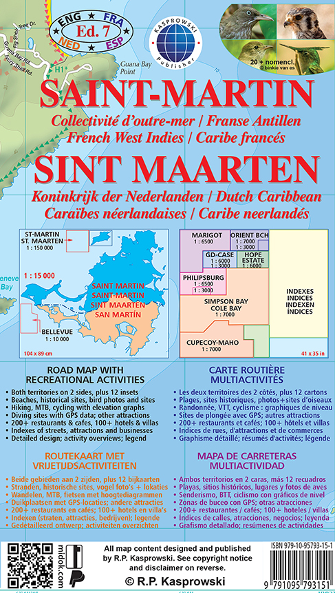
Wandelkaart - Wegenkaart - landkaart Sint Maarten - St. Martin | Kaspr

Wandelkaart - Wegenkaart - landkaart Sint Maarten - St. Martin | Kaspr

Bijzonder gedetailleerde kaart (1:15000 !) van alleen het eiland Sint Maarten - Saint Martin. Zowel de wegen als ook de wandelpaden staan er op vermeld. Stranden, interessante plekken en bovendien de meeste duikplakken staan met diepte helder weergegeven op de kaart. Met stadsplattegronden van Philipsburg en Marigot.   The most recent edition of the first and only complete road map of the French-Dutch island of Saint-Martin/Sint Maarten renders all known roads and streets with their names; indicates hiking trails, biking routes and diving sites; maps restaurants and hotels; features insets of the Marigot and Philipsburg capitals, as well as Tintamarre Island. Street, hotel, and restaurant indexes are printed on the reverse side of the map.   NEW FEATURES:   Street and road additions, incl. Simpson Bay Causeway; Over 200 restaurants and hotels mapped and indexed; Tintamarre island inset; Biking routes; Birding and turtle nesting sites, other natural attractions; Snorkeling sites; Kayaking trails; More historic sites, with dates; More diving sites, diving site depths; More hiking trails; More scenic views. The map is sold folded and is designed for easy opening and refolding. Its full unfolded format is 34 7/8" x 40 1/2" (88.5 cm x 103 cm). Folded, the map measures 5 1/8" x 8 3/4" (13 cm x 22 cm).   List of map features:   Attractive full color layout; Rich topographic detail; Symbol key and scale; Insets of both capital cities and Tintamarre Island, main and secondary roads, hotels and restaurants, sugar mill vestiges and other historic sites, diving sites and depths, snorkeling sites, shipwrecks, mooring locations, hiking trails, biking routes, kayaking trails, beaches, reefs, geological formations, natural attractions and reserves, bird-watching areas, sea turtle nesting sites, melocactus fields, national and international airports, bridges, lighthouses, marinas, ports, ferry lines, churches, cemeteries, parking areas, gas stations, tourist offices, information panels, and other points of interest; Depth curves, soundings in meters, longitude and latitude lines and other identifiers.

€ 19,95

Afbeelding tijdelijk niet beschikbaar
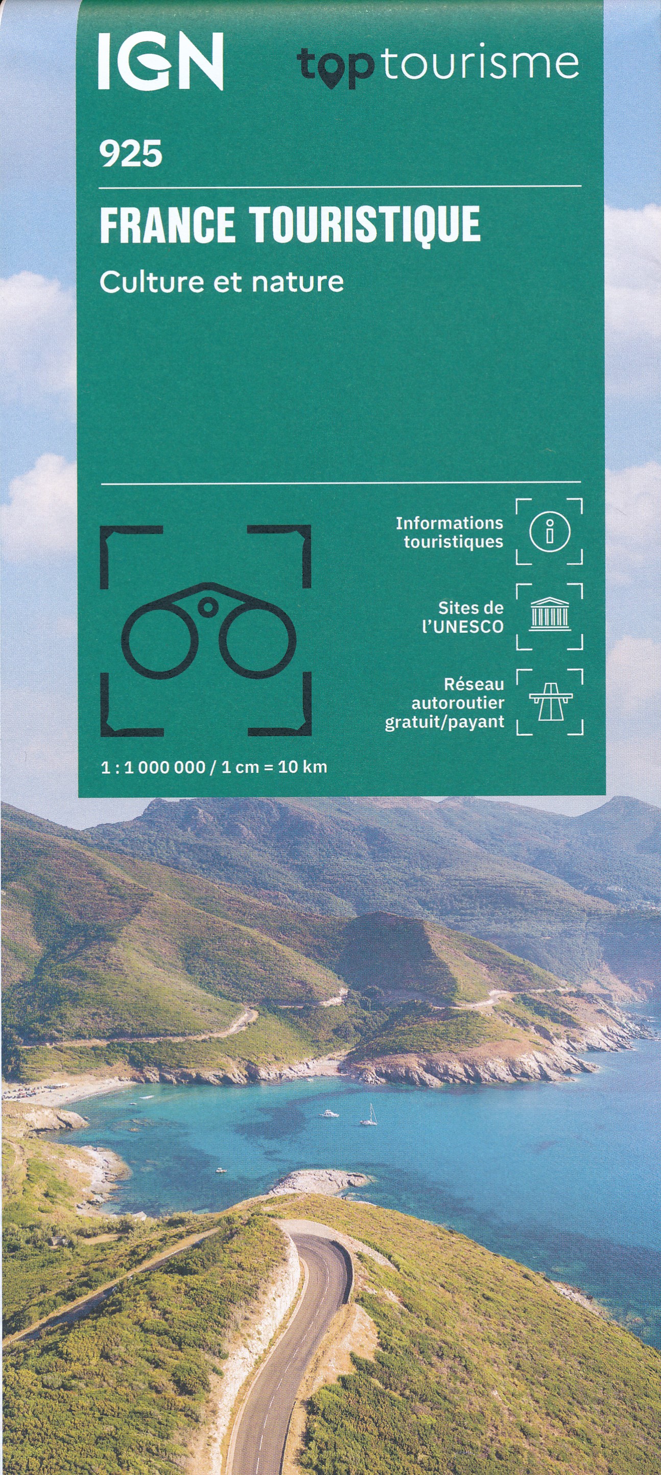
Wegenkaart - landkaart 925 France Touristique Frankrijk | IGN - Insti

Wegenkaart - landkaart 925 France Touristique Frankrijk | IGN - Insti

Sites patrimoine mondial de l’Unesco   Grands Sites de France   Reseaux autoroutiers gratuit et payant   Un contenu touristique largement enrichi, grace a:   L’ensemble des sites classes au patrimoine mondial de l’UNESCO cartographies, accompagnes de textes descriptifs et de photo, pour une meilleure connaissance du territoire   L’ensemble des sites classes « Grands Sites de France » cartographies, accompagnes de textes descriptifs et de photo, pour aider au choix d’une destination de vacances   L’enrichissement et une nouvelle presentation des informations touristiques, pour une lecture rapide et claire des sites culturels du territoire   Mise en avant des parcs naturels nationaux et regionaux, grace a des surfaces mise en avant, pour une identification facile des richesses naturelles   Une echelle inchangee, pour une lecture confortable: 1 : 1 000 000, soit 1 cm = 10 km   ------------------   UNESCO-werelderfgoedlocaties   Geweldige locaties van Frankrijk   Gratis en betaalde snelwegnetwerken   Uitgebreide toeristische inhoud dankzij:   Alle UNESCO-werelderfgoedlocaties in kaart gebracht, vergezeld van beschrijvende teksten en foto's, voor een betere kennis van het gebied   Alle sites geclassificeerd als “Grands Sites de France” in kaart gebracht, vergezeld van beschrijvende teksten en foto's, om u te helpen bij het kiezen van een vakantiebestemming   De verrijking en nieuwe presentatie van toeristische informatie, voor een snelle en duidelijke lezing van de culturele bezienswaardigheden van het gebied   Markering van nationale en regionale natuurparken, dankzij gemarkeerde gebieden, voor eenvoudige identificatie van natuurlijke hulpbronnen   Een ongewijzigde schaal, voor comfortabel aflezen: 1: 1.000.000, oftewel 1 cm = 10 km

€ 11,95

Afbeelding tijdelijk niet beschikbaar
Duikgids Curacao | Yellow Pear Press

Duikgids Curacao | Yellow Pear Press

The Definitive Guide to Scuba Diving and Snorkeling in Curaçao #1 New Release in Scuba Travel Guides and in Aruba & Netherlands Antilles Travel   From the authors of the Reef Smart Guides series comes Reef Smart Guides Curaçao, a unique and essential scuba, snorkel, and surf travel guide for the island of Curaçaoone of the top shore diving and snorkeling islands in the Caribbean.   A great travel gift. The ultimate guide for visitors and locals looking to explore the underwater world in Curaçao. This guidebook provides detailed descriptions and imagery of the island’s best dive and snorkel sites, including shipwrecks and coral reefs. The guide also details popular beaches, surfing and kiteboarding sites and gives recommendations for dive operators to use and restaurants to visit.   Detailed descriptions and 3D maps. With the help of Reef Smart’s unique 3D-mapping technology, learn all you need to know about the region’s top dive and snorkel sites, including the world famous Superior Producer wreck, Tugboat, and popular shore-accessible coral reef sites like Director’s Bay, Double Reef and Fisherman’s Wharf and Playa Marie Pampoen.   Don’t go diving without it. This indispensable resource helps you plan and execute dives without a hitch. Make sure to pack this unique guidebook with the rest of your scuba gear!   This guidebook provides:   Descriptions of 95 dive and snorkel sites in Curaçao, including Klein Curaçao Detailed 3D maps of 38 of the most popular sites, with access imagery for an additional 46 sites A 31-page species guide to help you identify and understand the marine creatures you’ll encounter And so much more! A unique and comprehensive scuba diving book. Also look for Reef Smart Guides Bonaire; Grand Cayman, and Barbados, as well as our guides to diving and snorkeling throughout the state of Florida. If looking to learn more about the world’s ocean, and specifically coral reefs, check out Beneath the Blue Planet.

€ 42,50

Afbeelding tijdelijk niet beschikbaar
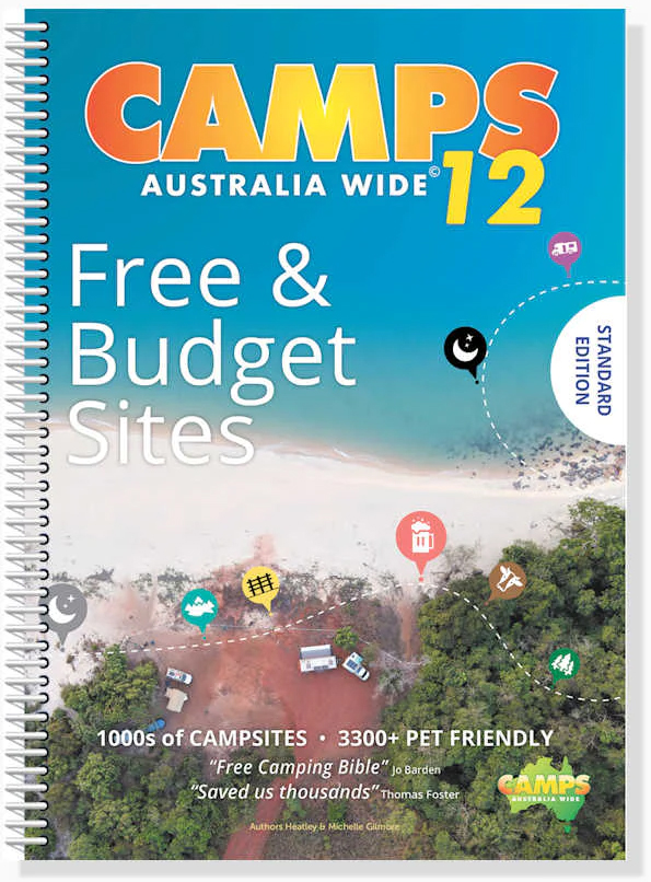
Campergids Camps 12 Free Camping Guide without photos Spiral (A4) | Ca

Campergids Camps 12 Free Camping Guide without photos Spiral (A4) | Ca

SAVE YOU THOUSANDS - More focus on free+ low-cost sites than ever before   TRIP PLAN - Fold out map of Australia to plan and record your travels EASY TO USE - Spiral bound so it sits flat and you won’t lose your place STAY UP TO DATE  - Latest maps, NEW campsites and dump points YOU CAN FIND SITES QUICKLY - Map for each state is colour coded and an index for the country BONUS FREE 12 months access to the CAMPS Australia App SO EASY TO DECIDE WHERE TO STAY - See site type + pets allowed + public dump points on the maps and go to listings see facilities with our colourful symbols even swimming, fishing and more   EASY TO NAVIGATE - GPS co-ordinates + street address + directions if needed to your camp Aussie owned, over 30 years of research, 100% personally checked, you can TRUST what travellers call their FREE camping BIBLE    478 pages, spiral bound, soft cover, A4 size (29.7cm × 21cm), product of Australia   Discover hidden gems in every corner of Australia with Camps 12 - with more focus on free and low-cost sites than ever before. This A4 format is more compact to save space on the road and doesn’t include photos or larger text and maps.   Backed by over 30 years of research and over 1.4 million guidebooks sold, this is the most trusted and comprehensive resource for freedom and low-cost camping in Australia.   Includes every camp site type, including unique outback and remote camping sites, farm stays and show grounds, national park and state forest sites, budget caravan parks, pet friendly sites and more across Australia.   Spiral bound for lie-flat reading, and with easy to identify site symbols, planning your next adventure has never been easier!   Need an easy-to-read format with larger maps, text and full colour site images throughout? Check out our Camps 12 B4 edition here.

€ 82,50

Afbeelding tijdelijk niet beschikbaar
Historische Kaart Militair Erfgoed - In Flanders fields Belgium | NGI

Historische Kaart Militair Erfgoed - In Flanders fields Belgium | NGI

Kaart voor militair erfgoed in West Vlaanderen, zowelvoor WO l als voor WO ll. The Western Front in Flanders on a detailed map at 1:100,000 highlighting locations of numerous monuments, cemeteries, front lines and other WWI-related sites, listed in the accompanying panels with, where appropriate, their phone numbers. The map is double-sided but all the main WWI battlefields from the French border to beyond Passendale/Paschendaele are together on one side.   The map shows the present-day road and rail networks in the province of West Flanders. Extensive overprint highlights locations of WWI-related sites, indicating whether open to the general public or by appointment only: museums, military cemeteries, war memorials and monuments to the missing soldiers, bunkers and battery remains, etc. Sites in France in the immediate vicinity of the Belgian border are also marked. The overprint also indicates battlefields and fortifications from other periods of history of Flanders, from the Middle Ages to WWI.   A small panel with a basic street plan of Ypres/Ieper highlights locations of 22 conflict-related sites including the Menin Gate and the Commonwealth War Graves Commission. The map is accompanied by extensive lists of museums, cemeteries and other sites, with where appropriate, contact details (but unfortunately not cross-referenced to their locations on the map itself). Four small insets show the changing front lines during various stages of WWI, and the map is illustrated by numerous colour photos of mostly WWI-related sites. Map legend and all the relevant text include English.   WW1, 1e wereldoorlog, Eerste wereldoorlog   WW2, 2e wereldoorlog, Tweede wereldoorlog

€ 8,95

Afbeelding tijdelijk niet beschikbaar
Reisgids Rome en omgeving - Rome and Environs | University of Californ

Reisgids Rome en omgeving - Rome and Environs | University of Californ

Dit is het standaard werk over de kunst en archeoogie van Rome en Lazio, nu beschikbaar in het Engels. This superb guide brings the work of Filippo Coarelli, one of the most widely published and well-known scholars of Roman topography, archeology and art, to a broad English-language audience. Conveniently organized by walking tours and illustrated throughout with clear maps, drawings, and plans, Rome and Environs: An Archaeological Guide covers all of the major, and an unparalleled number of minor, ancient sites in the city, and, unlike most other guides of Rome, includes major and many minor sites within easy reach of the city, such as Ostia Antica, Palestrina, Tivoli, and the many areas of interest along the ancient Roman roads. An essential resource for tourists interested in a deeper understanding of Rome's classical remains, it is also the ideal book for students and scholars approaching the ancient history of one of the world's most fascinating cities. Covers all the major sites including the Capitoline, the Roman Forum, the Imperial Fora, the Palatine Hill, the Valley of the Colosseum, the Esquiline, the Caelian, the Quirinal, and the Campus Martius. Discusses important clusters of sites-one on the area surrounding Circus Maximus and the other in the vicinity of the Trastevere, including the Aventine and the Vatican. Covers the history and development of the city walls and aqueducts. Follows major highways leading outside of the city to important and fascinating sites in the periphery of Rome. Features 189 maps, drawings, and diagrams, and an appendix on building materials and techniques. Includes an updated and expanded bibliography for students and scholars of Ancient Rome.

€ 41,50

Afbeelding tijdelijk niet beschikbaar
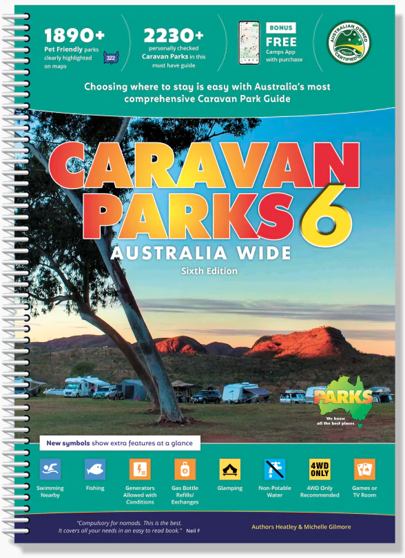
Campinggids Caravan Parks 6 Spiral (A4) | Camps Australia Wide

Campinggids Caravan Parks 6 Spiral (A4) | Camps Australia Wide

The only caravan park guide you will need for the whole of Australia!    Experience over 2,230+ of the very best caravan and tourist parks with Australia’s most comprehensive guide covering all states and holiday park networks, including over 1,890+ pet friendly sites included.   We’ve done all the hard work for you by checking, visiting and verifying every site so you can spend less time looking for the right spot and more time discovering Australia.   Presented in an easy-to-use format, with full colour images and easy to identify symbols, you can quickly compare facilities and price ranges at a glance, making your decisions easy!   Caravan Parks 6 includes:   Over 2,230+ caravan, RV & tourist parks across Australia Each site 100% verified by our team Latest edition HEMA maps with the sites overlaid Easy to read symbols to make identification of each site and its facilities easy Comprehensive information about each site including address and contact information, GPS location, price guide, vehicle suitability, site and accommodation types available, facilities and amenities (from showers to cooking facilities), mobile phone and internet coverage, and details about whether the site is great for fishing or swimming, has access to a boat ramp or has family friendly activities. Over 1,890 verified pet friendly sites, making it a must-have for anyone travelling with a pet. Each pet friendly site is clearly marked so you know when your furry companion is welcome. However please check each park’s current pet guidelines before arriving as changes may occur. Public Dump Points clearly marked with addresses & GPS co-ordinates, as well as symbols to show suitability for cassettes, holding tanks (whether a fee is applicable) together with access for big rigs. Dump points within caravan parks are included in the facilities list for those sites. Perfect to use by itself or in conjunction with the Camps 11 Guidebook and the Camps Australia Wide App. And because we all know sites change throughout the year, we offer free Caravan Parks 6 updates for 2 years - available for download from the Camps Australia Wide website at any time

€ 61,95

Afbeelding tijdelijk niet beschikbaar
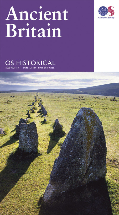
Wegenkaart - landkaart Ancient Britain | Ordnance Survey

Wegenkaart - landkaart Ancient Britain | Ordnance Survey

The Ordnance Survey Ancient Britain map is a comprehensive guide to the most important archaeological sites of early English, Welsh and Scottish history. Ordnance Survey's Ancient Britain map shows Neolithic, Bronze Age, Iron Age, Roman and early Medieval sites – against a backdrop of modern mapping. This extract shows some of the ancient sites of Wiltshire marked on the map. The secrets of Ancient Britain are to be revealed in a revised Historical map and guide from Ordnance Survey. Aimed at anyone with an interest in the early history of Britain – from schoolchildren through to archaeologists and tourists – the map helps bring the past to life. Information on the map includes ancient roads and place names – as well as comprehensive features and illustrations on many aspects of life in the period, including land use and settlement sites. Photographs, showing how many of the sites look today, are also used to give context. The map is created in conjunction with The National Monuments Record of English Heritage, the Royal Commission on the Ancient and Historical Monuments of Scotland and the Royal Commission on the Ancient and Historical Monuments of Wales. It features the whole of Great Britain on a double-sided sheet and shows the detailed history of ancient Britain – including the Neolithic, Bronze Age, Iron Age, Roman and early Medieval periods – against a backdrop of modern Ordnance Survey mapping.

€ 13,50

Afbeelding tijdelijk niet beschikbaar
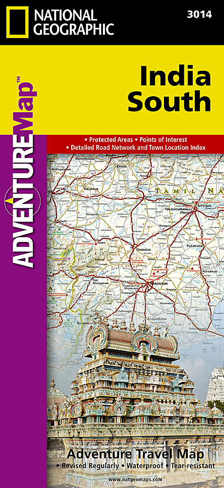
Wegenkaart - landkaart 3014 Adventure Map India South - Zuid | Nationa

Wegenkaart - landkaart 3014 Adventure Map India South - Zuid | Nationa

Wegenkaart van Zuid India met vermelding van veel bezienswaardigheden, nationale parken en attrakties. Watervast en scheurvast. National Geographic's India South Adventure Map is designed to meet the unique needs of adventure travelers with its durability and detailed, accurate information. The map includes the locations of thousands of cities and towns with a user-friendly index, as well as a clearly marked road network complete with distances and designations for highways, major routes and secondary roads.   The India South Adventure Map differs from a traditional road map for it includes hundreds of points of interest that highlight the diverse and unique destinations found in this region. The map features UNESCO World Heritage sites, archaeological sites, wildlife sanctuaries, Hindu and Buddhist temples, sacred sites, forts, palaces, ruins, waterfalls, caves and other points of interest, making it an invaluable resource to travelers hoping to experience all the history and culture this part of India has to offer. Additional travel aids include the location of airports, ports and ferry routes.   The front side of the map covers the southern part of India, from the southern portion of the state of Madhya Pradesh extending south to Karnataka. The states of Andhra Pradesh, Chhattisgarh, Goa, Gujarat, Maharashtra and Orissa are included as well as the cities of Hyderabad, Mumbai (Bombay), Nagpur and Pune. The reverse side shows the most southern region of India extending from the state of Goa to the city of Trivandrum and the stores of the Gulf of Mannar. The cities of Bangalore, Chennai (Madras), Coimbatore and Madurai, are included as are the southern portion of the state of Andhra Pradesh, Karnataka, Kerala and Tamil Nadu. The India South Adventure Map is printed in the United States on a durable synthetic paper, making it waterproof, tear-resistant and tough—capable of withstanding the rigors of international travel.   Key Features: Waterproof and tear-resistant Detailed topography complete with activity symbols, ideal for exploring the country Hundreds of points of interest including UNESCO World Heritage sites, archaeological sites, Hindu and Buddhist temples Thousands of place names Important travel aids including airports, ferry routes, and rail lines

€ 18,50

Afbeelding tijdelijk niet beschikbaar
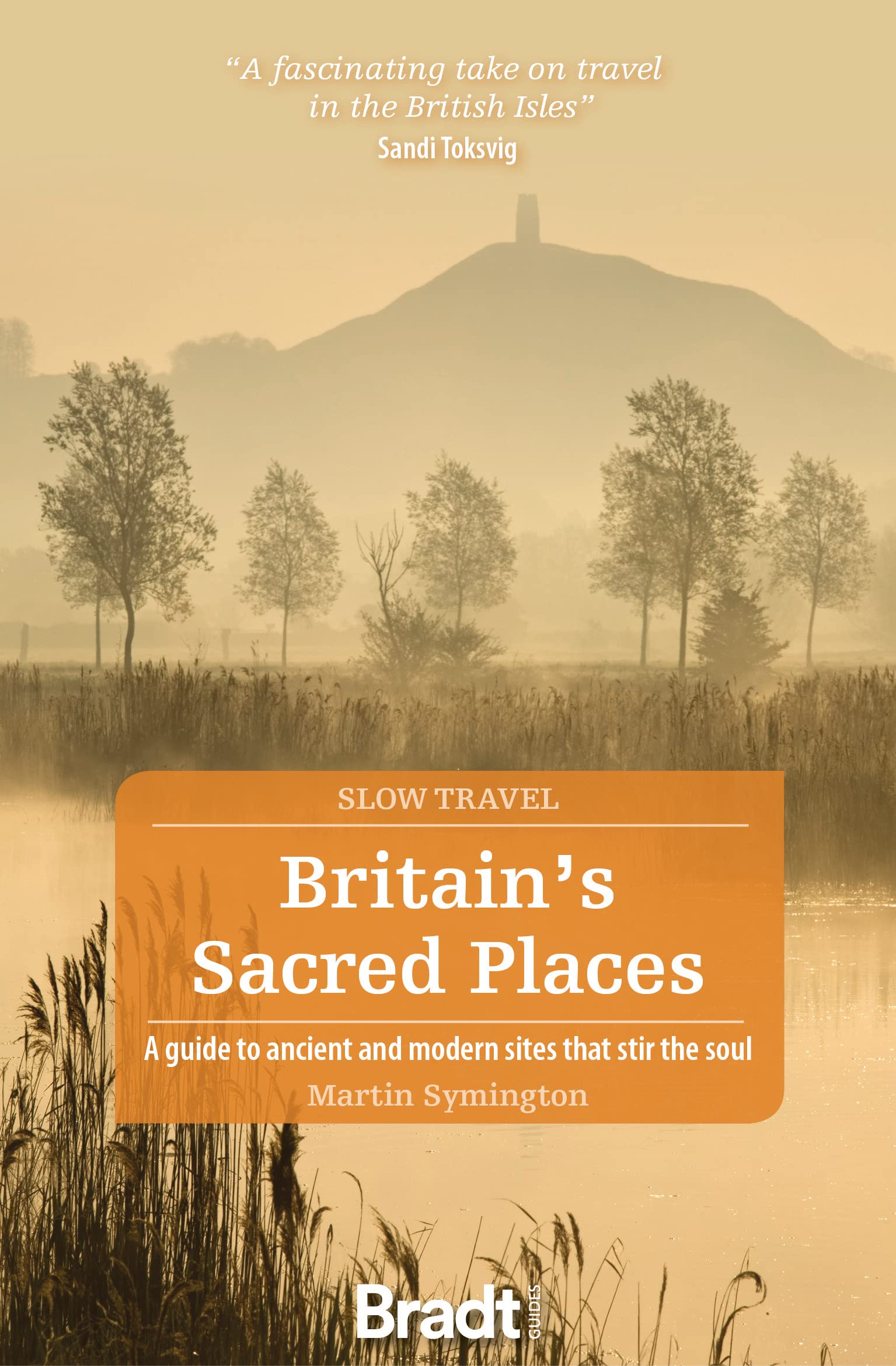
Reisgids Slow Travel Britain's Sacred Places | Bradt Travel Guides

Reisgids Slow Travel Britain's Sacred Places | Bradt Travel Guides

Een bijzondere serie van Bradt guides, waarin een gedeelte van Engeland uitgebreid beschreven wordt. Met veelv aandacht voor kleine details die je niet ao gauw elders zult vinden. Naast de beschrijvende informatie vind je ook een schat aan praktische informatie als accommodatie-adfressen of leuke pubs. Een aanrader! Britain is packed to the gunnels with places to visit that many regard as sacred, from iconic sites such as Iona, Lindisfarne and Stonehenge to more out-of-the-way pilgrimage destinations, stone circles, holy wells and obscure corners. Then there are places that appeal to a particular following, places of philosophical or celebrity interest such as Karl Marx's tomb in Highgate cemetery, Freddie Mercury's home or, for sporting enthusiasts, Twickenham rugby stadium.This book, first published in 2011 as Sacred Britain, has been thoroughly revised with additional sites and re-packaged as part of Bradt's award-winning series of Slow travel guides to regions - and aspects - of the UK. Significant updates have been included, including to Stonehenge, Tintagel and Monkwearmouth-Jarrow, as well as new locations such as Goat's Hole Cave on the Gower Peninsula, Creswell Crags in Nottinghamshire, Stanton Drew in Somerset and St Nectan's Glen in Cornwall. Also new is the memorial to Princess Diana in Kensington Palace Gardens, which is included in addition to the island on the Althorp estate on which she is buried. Sites in England, Wales and Scotland are featured, from far-flung islands to ancient chalk hill carvings, hot springs and sites of myth, legend and apparition; and from soaring cathedrals to Buddhist and Hindu temples, shrines to martyred saints, irreligious philosophers and immortal rock stars - locations revered for their connections with art, music, literature, sport, crime; and places holding emotional associations for those with ancestral roots on Britain.

€ 23,95

Afbeelding tijdelijk niet beschikbaar
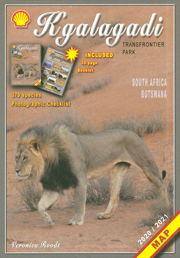
Wegenkaart - landkaart Kgalagadi - Tourist Map of Kgalagadi Transfront

Wegenkaart - landkaart Kgalagadi - Tourist Map of Kgalagadi Transfront

Zeer bijzondere landkaart van het grensgebied van Botswana en Zuid Afrika. Uitermate handig zijn de GPS coordinaten van de meest belangrijke punten als campings of uitzichtpunten. De kaart is gebaseerd op een luchtfoto, waarbij alle details zijn ingetekend. The map: The map consists of a large map of the entire Park on the front of the map. On the back is enlargements of six maps - the South African side, Mabuasehube, Swart Pan area, Gemsbok Wilderness Trail, Mabuasehube Wilderness Trail and of the Kaa Kalahari Concession. Satellite images were used and the roads were tracked by GPS. There are 168 GPS coordinates on this map. Establishment of a Transfrontier Park: On the 7 th of April 1999 Botswana and South Africa signed a bilateral agreement in which they agreed to manage their adjacent national parks, Gemsbok National Park in Botswana and Kalahari Gemsbok National Park in South Africa, as a single ecological unit – the Kgalagadi Transfrontier Park. It is the first formally declared Transfrontier Park in southern Africa, but there are more underway. There were no human made barriers in the past but the parks were managed separately. Tourists are able to move freely within the park and they have a unified set of regulations. Management of internal affairs remain separate. Entry and camping fees on both sides are similar, depending on the exchange rate. Botswana side: The Botswana side of the park has been maintained in a natural condition as far as possible. The camping sites – there are no lodges or chalets – are in harmony with nature without any form of above-ground masonry. There are five areas of focus as far as visitors are concerned – the Nossob river valley, Mabuasehube, Swart Pan area and the two Wilderness trails (Mabuasehube 4x4 Trail and the Gemsbok Wilderness Trail). There are three public access routes - from Kaa gate to Nossob Camp, from Mabuasehube gate to Nossob and from Two Rivers to the Nossob valley. South African side: The game-drive routes are mainly in the two river valleys – the Nossob valley in the north and the Auob Valley in the south. Most of the roads do not require 4x4 vehicles. The three main camps have small shops, fuel, chalets, accommodation and camping. Apart from the two roads linking the valley routes, there is now a 4x4 route that passes Bitter Pan where there is a beautiful lodge open to 4x4 travelers on advanced bookings only. Where to stay or to camp: Botswana side: On the Botswana side is only camping. All the sites are in natural settings, completely free of fences, giving one the opportunity to enjoy the Kalahari in its natural state. There are camping sites at Rooiputs and at Polentswa in the Nossob valley and several sites on the Swart Pan circuit and in the Mabuasehube area. South Africa: There are three very well-equipped camps with chalets and huts, namely Twee Rivieren, Nossob and Mata Mata. They are all well developed and at Twee Rivieren there is also a restaurant. Each one of these camps has a small shop with meat, ice, soft and alcoholic drinks. There is fuel available at all three camps. All three camps offer night drives as well. There are also five new bush camps – Kalahari Tented Camp near Mata Mata, Bitterpan Bush Camp on the 4x4 route, Kielie Krankie, Grootkolk and Urikaruus, the latter three situated at the pans with the same names. They offer exclusivity, which one is not able to enjoy in the other camps.

€ 19,95

Afbeelding tijdelijk niet beschikbaar
Wegenkaart - landkaart 3008 Adventure Map China East - Oost | National

Wegenkaart - landkaart 3008 Adventure Map China East - Oost | National

Wegenkaart van Oost China  met vermelding van veel bezienswaardigheden, nationale parken en attrakties. Watervast en scheurvast.   National Geographic's China East Adventure Map is designed to meet the unique needs of adventure travelers with its durability and detailed, accurate information. The map includes the locations of thousands of cities and towns with a user-friendly index, plus a clearly marked road network complete with distances and designations for major highways, major routes and secondary roads. The China Adventure Map is printed in the United States on a durable synthetic paper, making it waterproof, tear-resistant and tough—capable of withstanding the rigors of international travel.   The China East Adventure Map differs from a traditional road map for it includes hundreds of points of interest that highlight diverse and unique destinations in the region. UNESCO World Heritage sites, national parks and reserves, archaeological sites, temples, caves and points of interest such as the Great Wall of China and the Wall of Genghis Khan are included, making it an invaluable resource to travelers hoping to experience all the history and culture China has to offer. Additional travel aids include the location of airports, ports and ferry routes. The front side of the China East map details the northeast region of the country, from its border with Russia and Mongolia to the north, to the North Korean border to the east, and extending south to the city of Nanjing. The reverse side of the map details China’s southeastern region, extending from Xi’an and Zhengzhou south to Hong Kong; west to the country’s borders with India and Myanmar (Burma); and east to the Vietnamese border and the shores of the South and East China Seas.   Key Features: Waterproof and tear-resistant Detailed topography complete with activity symbols, ideal for exploring the country Hundreds of points of interest, including the location of World Heritage sites, national parks and reserves, archeological sites, temples, the Great Wall of China and more Thousands of place names Important travel aids including airports, ferry routes, and rail lines

€ 18,50

Afbeelding tijdelijk niet beschikbaar
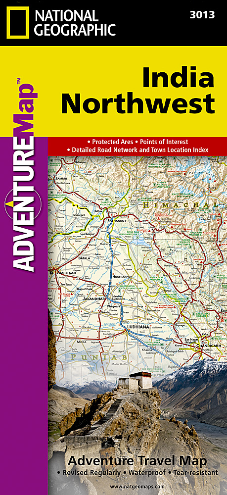
Wegenkaart - landkaart 3013 Adventure Map India Northwest - Noordwest

Wegenkaart - landkaart 3013 Adventure Map India Northwest - Noordwest

Wegenkaart van Noordwest India met vermelding van veel bezienswaardigheden, nationale parken en attrakties. Watervast en scheurvast. National Geographic's India Northwest Adventure Map is designed to meet the unique needs of adventure travelers with its durability and detailed, accurate information. The map includes the locations of thousands of cities and towns with a user-friendly index, as well as a clearly marked road network complete with distances and designations for highways, major routes and secondary roads.   The India Northwest Adventure Map differs from a traditional road map for it includes hundreds of points of interest that highlight diverse and unique destinations in the region. The map features UNESCO World Heritage sites, national parks, archaeological sites, wildlife sanctuaries, Hindu, Buddhist and Sikh temples, forts, palaces and other points of interest, making it an invaluable resource to travelers hoping to experience all the history and culture India has to offer. Additional travel aids include the location of airports, harbors, and ferry routes.   The front side of the map covers India’s far northwestern corner, including the Kashmir region and the great Himalaya range, as well as the states Haryana, Himachal Pradesh, Punjab, Rajasthan, Uttarakhand, Uttar Pradesh, and the National Capital Territory. The reverse includes coverage of the border area with Pakistan to the west, the southern part of Rajasthan and Uttar Pradesh, as well as Madhta Pradesh and the cities of Bhopal, Gujarat and Ahmadabad to the Kathiawar Peninsula. The India Northwest Adventure Map is printed in the United States on a durable synthetic paper, making it waterproof, tear-resistant and tough—capable of withstanding the rigors of international travel.   Key Features: Waterproof and tear-resistant Detailed topography complete with activity symbols, ideal for exploring the country Hundreds of points of interest including UNESCO World Heritage sites, archaeological sites, Hindu and Buddhist temples Thousands of place names   Important travel aids including airports, ferry routes, and rail lines

€ 18,50

Afbeelding tijdelijk niet beschikbaar
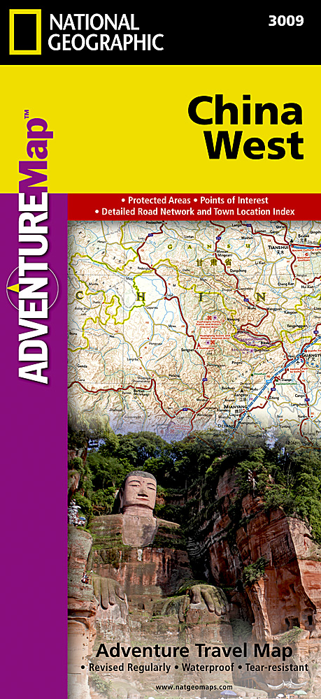
Wegenkaart - landkaart 3009 Adventure Map China West | National Geogra

Wegenkaart - landkaart 3009 Adventure Map China West | National Geogra

Wegenkaart van West China met vermelding van veel bezienswaardigheden, nationale parken en attrakties. Watervast en scheurvast.   National Geographic's China West Adventure Map is designed to meet the unique needs of adventure travelers with its durability and detailed, accurate information. The map includes the locations of thousands of cities and towns with a user-friendly index, plus a clearly marked road network complete with distances and designations for major highways, major routes and secondary roads. The China Adventure Map is printed in the United States on a durable synthetic paper, making it waterproof, tear-resistant and tough—capable of withstanding the rigors of international travel.   The China West Adventure Map differs from a traditional road map for it includes hundreds of points of interest that highlight diverse and unique destinations in the region. UNESCO World Heritage sites, national parks and reserves, archaeological sites, temples, mosques, museums, ruins, caves and points of interest such as the Great Wall of China are included, making it an invaluable resource to travelers hoping to experience all the history and culture China has to offer. The front side of the China West map details the western region of the country, from its border with Russia, Kazakhstan and Kyrgyzstan, to its border with India and Bhutan in the south. The autonomous region of Tibet is featured as well as the city of Urumqi. The reverse side of the map covers the area extending south of Mongolia and includes the cities of Baotao, Chengdu, Chongqing, Hohhot, Lanzhou, Shijiazhuang, Taiyuan, Xi’an, Yinchuan and Zhengzhou.   Key Features: Waterproof and tear-resistant Detailed topography complete with activity symbols, ideal for exploring the country Hundreds of points of interest, including the location of World Heritage sites, national parks and reserves, archeological sites, temples, the Great Wall of China and more Thousands of place names Important travel aids including airports, ferry routes, and rail lines

€ 18,50

Afbeelding tijdelijk niet beschikbaar
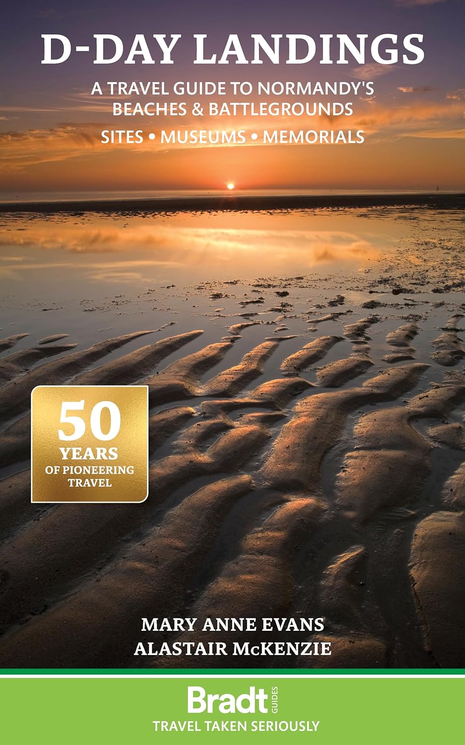
Reisgids D-Day Landings - Normandie | Bradt Travel Guides

Reisgids D-Day Landings - Normandie | Bradt Travel Guides

Published to commemorate the 80th anniversary of the military mission that changed World War II, D-Day Landings: a Travel Guide to Normandy's Beaches and Battlegrounds is Bradt's new guidebook to visiting beaches, memorials, museums, battlefields and other sites associated with D-Day and the Battle of Normandy (Operation Overlord). A simple-to-follow, portable guide for independent travellers, it includes maps and driving instructions to help visitors go back in time to explore World War II history. Written by two experienced travel writers who, between them, are experts in France and military history, D-Day Landings is designed for visitors who want to see all or part of Normandy. Covering the ground from the D-Day landing beaches (Sword, Juno, Gold, Omaha and Utah) up to the Falaise Gap and Cherbourg, it encompasses both every major site and a host of smaller, less well-known locations - venturing well beyond the coast to include sites associated with the capture of Cherbourg (D+20) and the closing of the Falaise Gap (D+76), which marked the end of the Overlord campaign. Although organised geographically - as befits a travel guide rather than history book - a colour-coded system helps readers understand the historical context by identifying where sites fit into the timeline of the Battle of Normandy and escorting readers through the invasion in a simple, practical format. D-Day Landings aims to enhance the visitor experience by alerting readers to unexpected features such as a 'concrete panzer' pillbox topped by a tank turret around which Utah Beach Museum was constructed.   Quirky snippets and human stories colour the text. Learn how Lord Lovat's Commando Piper Bill saw himself as a ballerina or how the Utah Beach landings were accidentally more successful than planned. Children and adults alike will love the 'history-spotter' tick-boxes, such as ten Advanced Landing Ground site plaques to tick off. Meanwhile, extensive information on American forces in Normandy includes not only all major US sites but also tales of intriguing characters involved.   Whether you are a military-history enthusiast, have family who fought in Normandy or are simply visiting northern France on holiday, Bradt's D-Day Landings is the guidebook to both plan your trip and take with you.

€ 14,95
Afbeelding tijdelijk niet beschikbaar
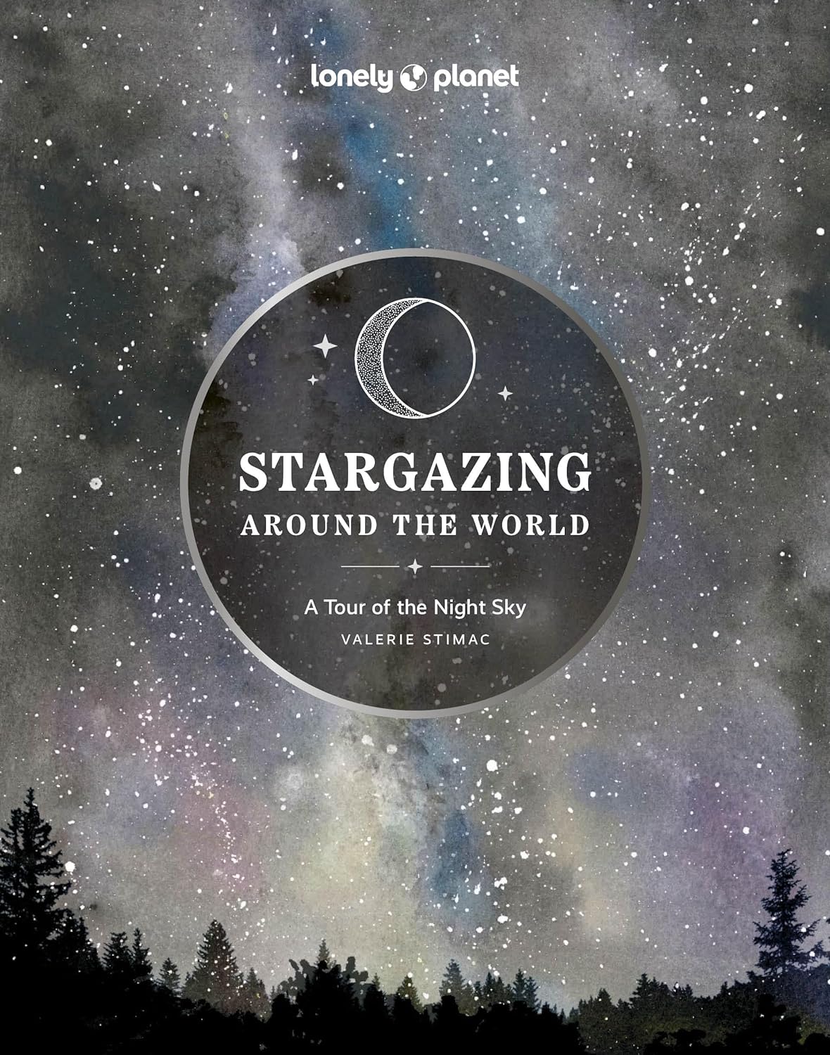
Reisgids Stargazing Around the World | Lonely Planet

Reisgids Stargazing Around the World | Lonely Planet

Embark on an adventure to see the stars with this inspiring guide that spotlights the world's best places to explore the night sky. Discover 100 spectacular sites including dark sky parks, observatories and wild mountains and experience the meditative wonder of stargazing - with essential travel tips so you can have the ultimate starry-eyed trip.   See shooting stars soar through the cosmos from the Brecon Beacons in Wales; or visit the Grand Canyon National Park for its mesmerising views of the glittering night sky. Featuring an introduction to stargazing, in-depth profiles of dark sky sites, calendars of meteor showers and eclipses, and a further collection of must-visit locations to watch space phenomena, this fascinating book is perfect for those interested in astronomy, astrology, and the amazing world around us.   Inside Stargazing Around the World: A Tour of the Night Sky:   - A comprehensive collection of the best stargazing sites around the world offering unforgettable views and scenery - Practical information and essential travel tips on how and when to visit for the greatest night sky tours - Stunning astrophotography within the internal pages of the book - Written by Valerie Stimac, an expert author on astrotourism - Contents include an introduction to stargazing; dark sky sites around the world; observatories open to the public; where and when to see meteor showers, auroras and eclipses; and more - Key destinations featured include Mont-Mégantic (Canada); Parque Nacional Torres del Paine (Chile); McDonald Observatory (USA); NASA Jet Propulsion Lab (USA); Grand Canyon (USA); Uluru (Australia); Warrumbungle National Park (Australia); Aoraki Mackenzie Dark Sky National Park (New Zealand), Aotea (Great Barrier Island); Yeonyang (South Korea); Iromote-Ishigaki (Japan); Eifel National Park (Germany); Teide Observatory (Spain); Royal Observatory (UK); Northumberland International Dark Sky Park (UK); Lauwersmeer National Park (The Netherlands) and many more!   Bursting with unique travel inspiration, readers will find profound and mindful stargazing expeditions within this epic guide. Whether you wish to view our galaxy's constellations from the summit of a mountain or the comfort of a cosy armchair, this beautiful book will take you there.     About Lonely Planet: Lonely Planet, a Red Ventures Company, is the world's number one travel guidebook brand. Providing both inspiring and trustworthy information for every kind of traveller since 1973, Lonely Planet reaches hundreds of millions of travellers each year online and in print and helps them unlock amazing experiences. Visit us at lonelyplanet.com and join our community of followers on Facebook (facebook.com/lonelyplanet), Twitter (@lonelyplanet), Instagram (instagram.com/lonelyplanet), and TikTok (@lonelyplanet).

€ 27,95

Afbeelding tijdelijk niet beschikbaar
Vogelgids Where to Watch Birds in France | Pelagic Publishing

Vogelgids Where to Watch Birds in France | Pelagic Publishing

An introduction to France for anyone visiting with birds in mind, from casual birdwatchers checking a bird that flies over the terrace during a family holiday to addict birders who would sell their souls for a dream species or a record-breaking checklist. Some may have just a few spare hours to get their binoculars out between business meetings or museum visits, others will be out in the field for two weeks or more, from sunrise to sunset. The authors wrote this book for all bird lovers, birdwatchers and birders, whatever the duration of their stay, the number of kilometres they are prepared to travel and how they enjoy birds.   With over 400 regularly occurring species, of which 357 normally breed or winter, France has one of the most diverse avifaunas of the whole of Europe, spanning an incredible range from colourful Mediterranean flagship species such as roller, bee-eater or black-winged kite to secretive cold-climate or mountain specialists like three-toed woodpecker and Tengmalm's owl. The Birdfinder section provides targeted details for 30 species which often rank in the top wish-list of birders visiting France. Dividing the country into 14 regions, the authors highlight 312 representative sites, chosen for their bird species composition and ease of access.   The selected sites enable the reader to see the widest possible species diversity and largest range of local specialities in a reasonable time, while respecting the basic ethical rules obvious to all birdwatchers. Whenever possible, sites are arranged in clusters or itineraries that can be covered in two to three days without hurrying. To supplement the use of the book in the field, all the sites described are geolocated in a file that can be downloaded from the publisher's website and loaded onto any GPS device.

€ 39,95

Afbeelding tijdelijk niet beschikbaar
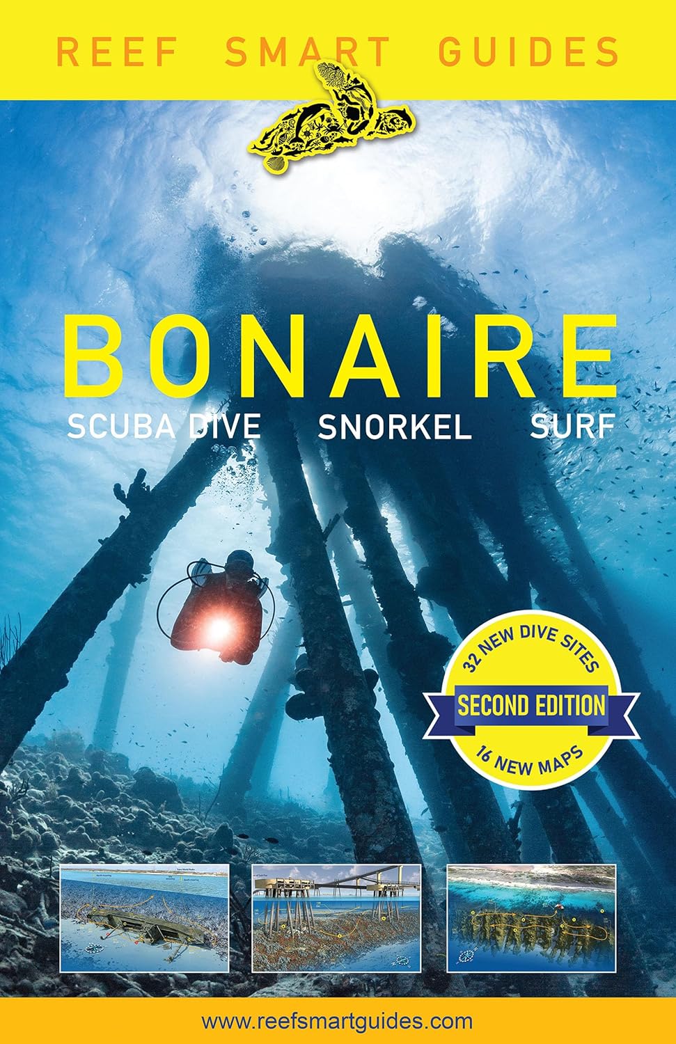
Duikgids Reef Smart Guides Bonaire (Revised Edition) | Turner Publishi

Duikgids Reef Smart Guides Bonaire (Revised Edition) | Turner Publishi

The Definitive Guide to Bonaire Scuba Diving and Snorkeling, now updated! "With a mapping style and key information presented in a way that really prepares you for each dive site, this book is exactly what divers want." -Ocean Frontiers #1 Best Seller in Water Sports & Caribbean The authors of the Reef Smart Guide series are back with an updated Reef Smart Guides: Bonaire featuring 32 new dive sites and 16 new maps! A great Caribbean travel guide. The ultimate travel guide for beach and marine activities in Bonaire. The detailed descriptions and illustrations of beaches, coral reefs, shipwrecks, and other dive spots are ideal for divers, snorkelers, kitesurfers and windsurfers. Make the most of your time on Bonaire island and in the water. Detailed descriptions and map art. With the help of Reef Smart's unique 3D-mapping technology, learn all you need to know about the regions' top dive and snorkel sites. These maps provide useful information such as depths, currents, waves, suggested routes, potential hazards, unique structures and species information. Don't go diving without it. This indispensable resource helps you plan and execute dives without a hitch. Make sure to pack this guidebook with the rest of your scuba gear when you visit Bonaire island, the shore diving capital of the Caribbean. In this updated essential guide you get: In-depth analysis of over 100 dive and snorkel sites from across Bonaire and how to access them Detailed 3D models of 36 of the island's most popular spots such as 1000 Steps, Karpata and Salt Pier Species guide to help you identify and understand the marine creatures you will encounter - 95 species documented NEW: 32 new dives sites, including Klein Bonaire and the East Coast NEW: 16 new dive and snorkel site maps Reef Smart Guides: Bonaire Revised Edition is the perfect addition to your diving collection! Also don't miss other Reef Smart Guides for the best diving in Florida: Fort Lauderdale, Pompano Beach, Deerfield Beach and Palm Beach; Barbados, and Grand Cayman.

€ 49,95

Afbeelding tijdelijk niet beschikbaar
Wegenkaart - landkaart Bonaire | Kasprowski Maps

Wegenkaart - landkaart Bonaire | Kasprowski Maps

Bijzonder gedetailleerde kaart (1:40000) van alleen het eiland Bonaire. Zowel de wegen als ook de wandelpaden staan er op vermeld. Stranden, interessante plekken en bovendien de meeste duikplakken staan met diepte helder weergegeven op de kaart. Met stadsplattegrond van Kralendijk. The most up-to-date and only complete road map of Bonaire ( Scale 1 : 28 000 ), as well as the Kralendijk urban area, spanning from Santa Barbara Crowns, through the airport, to Punt Vierkant (Scale 1 : 15 000). An inset of Rincon (Scale 1 : 12 000) is also included. All maps and insets come with thorough street indexes.   All of the official diving sites around Bonaire and Klein Bonaire are displayed, most of them with their GPS locations, as recorded by STINAPA, the island's official conservation foundation.   The map shows all the island's known roads and streets with their names, as well as an extensive set of biking routes and kayaking trails.   The map is sold folded, measuring 5 1/4" x 9 5/8" ( 13.5 cm x 24.5 cm ) and is designed for easy opening and refolding. Its full unfolded format is 26" x 38 5/8" ( 66 cm x 98 cm ). The map can be hung on a wall to show the entire island.   It contains the following features: Attractive full color layout with high-quality glossy finish; rich topographic detail; Main and secondary roads; diving, snorkeling, and shipwreck sites; biking, hiking, and kayaking trails; beaches, bays, reefs, and marinas; national parks, protected areas, mountain peaks, and other natural features; caves and fossil sites; bird watching, turtle nesting, butterfly and flamingo areas; Indian inscriptions (petroglyphs), slave-labor camps, watermills, and other historic sites; international airport, parking areas, sports arenas, medical centers, lighthouses, gas stations, places of worship, schools, police stations, post offices, and other points of interest; Symbol key and scale; depth curves, soundings, heights, and contour lines in meters, longitude and latitude lines and other identifiers.

€ 19,95

Afbeelding tijdelijk niet beschikbaar
Wegenkaart - landkaart Aruba | Kasprowski Maps

Wegenkaart - landkaart Aruba | Kasprowski Maps

Bijzonder gedetailleerde kaart (1:28000) van alleen het eiland Aruba. Zowel de wegen als ook de wandelpaden staan er op vermeld. Stranden, interessante plekken en bovendien de meeste duikplakken staan met diepte helder weergegeven op de kaart. Met stadsplattegrond van Oranjestad. The most up-to-date and only complete road map of Aruba with street-level detail of the entire island ( Scale 1 : 28 000 ).   The map shows all the island's known roads and streets with their names, displays its many diving sites and an extensive set of biking routes, and locates all the major hotels by name.   The map is sold folded, measuring 4 7/8" x 8 7/8" ( 12.5 cm x 22.5 cm ) and is designed for easy opening and refolding. Its full unfolded format is 26 3/8" x 38 1/2" ( 67 cm x 98 cm ). The map can be hung on a wall to show the entire island.   It contains the following features: Attractive full color layout with high-quality glossy finish; rich topographic detail; Symbol key and scale; Main and secondary roads, diving and shipwreck sites, biking and hiking trails, hotels, beaches and reefs, Arikok National Park and other natural features, caves, bird refuge and watching sites, turtle nesting sites, gold smelter and windmill ruins, international airport, parking areas, hotels, hospitals, lighthouses, gas stations, places of worship, cemeteries, schools, museums, ports and marinas, police stations, post offices, wind turbines, geological formations, and other points of interest;

€ 19,95

Afbeelding tijdelijk niet beschikbaar
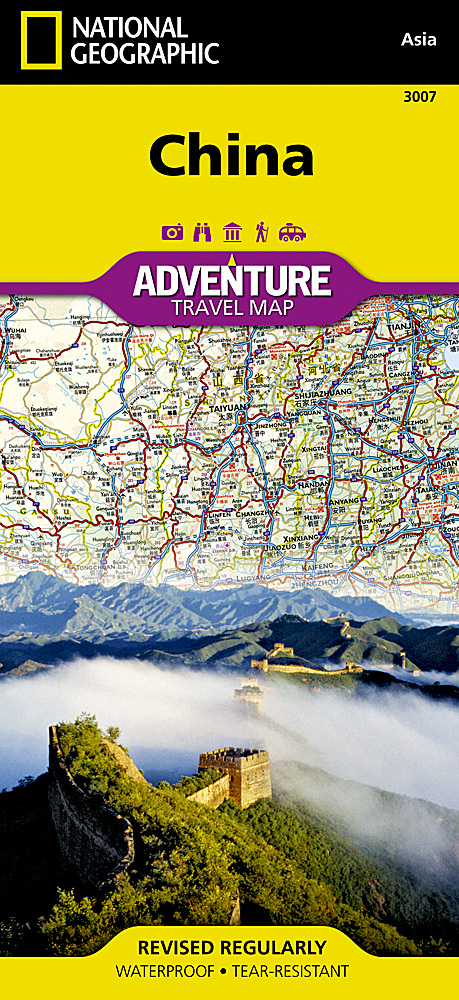
Wegenkaart - landkaart 3007 Adventure Map China | National Geographic

Wegenkaart - landkaart 3007 Adventure Map China | National Geographic

Wegenkaart van China met vermelding van veel bezienswaardigheden, nationale parken en attrakties. Watervast en scheurvast.   National Geographic's China Adventure Map is designed to meet the unique needs of adventure travelers with its durability and detailed, accurate information. The map includes the locations of thousands of cities and towns with a user-friendly index, plus a clearly marked road network complete with distances and designations for major highways, major routes and secondary roads.   The China Adventure Map differs from a traditional road map because it includes hundreds of points of interest that highlight diverse and unique destinations in the region. UNESCO World Heritage sites, national parks and reserves, archaeological sites, temples, caves and points of interest such as the Great Wall of China are included, making it an invaluable resource to travelers hoping to experience all the history and culture China has to offer. Additional travel aids include the location of airports, harbors and ferry routes. The China Adventure Map is printed in the United States on a durable synthetic paper, making it waterproof, tear-resistant and tough—capable of withstanding the rigors of international travel.   Key Features: Waterproof and tear-resistant Detailed topography complete with activity symbols, ideal for exploring the country Hundreds of points of interest, including the location of World Heritage sites, national parks and reserves, archeological sites, temples, the Great Wall of China and more Thousands of place names Important travel aids including airports, ferry routes, and rail lines

€ 18,50

Afbeelding tijdelijk niet beschikbaar
Wandelkaart - Topografische kaart 161 OS Explorer Map London South (gr

Wandelkaart - Topografische kaart 161 OS Explorer Map London South (gr

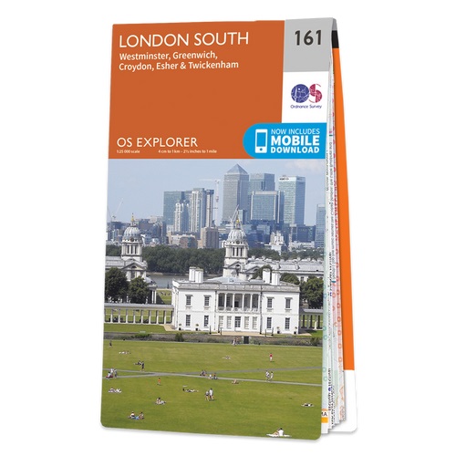
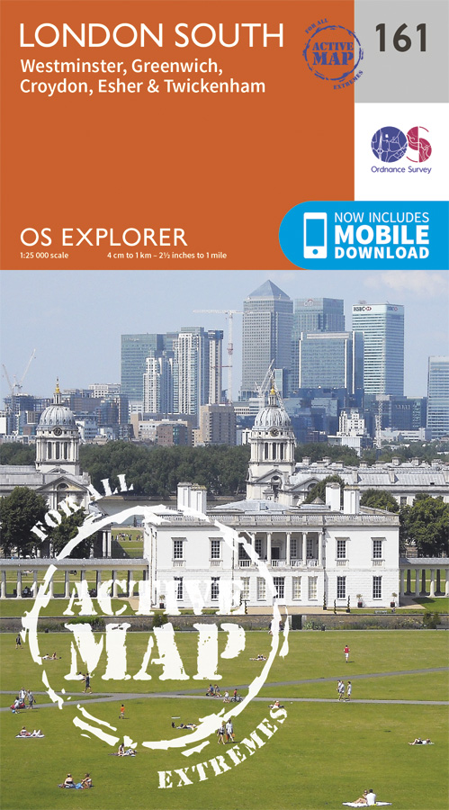
Follow the Thames Path through the heart of London’s oldest and most historic areas. Discover Westminster, a square mile densely packed with some of the world’s most famous attractions: Buckingham Palace, Westminster Abbey, Westminster Cathedral and the Palace of Westminster, home to the Houses of Parliament.    Visit the World Heritage Sites of Kew Gardens, Maritime Greenwich including the Royal Observatory and the Palace of Westminster & Abbey complex  Explore the suburbs of Croydon, Esher and Twickenham, home of English rugby and Horace Walpole’s miniature Gothic castle, Strawberry Hill  Walk or cycle the Thames Path National Trail or recreational paths including the London Loop and Vanguard Way  Met zijn 4cm voor 1 km (2 ½ cm voor 1 mijl) schaal, is de OS Explorer kaartenserie de ideale en meest gedetailleerde kaartenreeks voor mensen die graag outdoor-activiteiten zoals fietsen, wandelen, paardrijden, klimmen en watersporten. Deze kaart is nog gedetailleerder dan de 'gewone' Landranger maps. Voor- en achterzijde bedrukt! Zeker op de moors en andere natuurgebieden van onschatbare waarden met echt alle aspecten van het landschap op de kaart ingetekend. Zeer goede detailkaart met topografische ondergrond. Hierop zijn toeristische symbolen van bezienswaardigheden ingetekend, daarnaast staan bijvoorbeeld campings en jeugdherbergen vermeld en - voor wandelaars het belangrijkst - alle right of way paden en Lange afstands Wandelpaden zijn er op te vinden. De ideale kaart voor het wandelen in Engeland, Wales of Schotland.   These highly detailed maps show all the administrative boundaries, settlements as small as isolated farms, the road network down to unfenced roads and country tracks, and field boundaries (hedges and drystone walls) which make navigation across the countryside much easier. Steep gradients on roads are indicated. Various landmarks, e.g. powerlines, archaeological sites, windmills, churches and lighthouses are shown and additional graphics indicate natural terrain features such as cliffs, scree, mud and vegetation variations. The contour interval is 5 metres in the lower parts of the country and 10 metres in the uplands, and spot heights are marked. Each map covers an area of 30 x 20km (i.e. approx. 19 x 12 miles), with some double-sided maps covering more, as indicated in the individual descriptions. The maps are fully GPS compatible, with the National Grid shown at 1km intervals and latitude and longitude indicated by margin ticks at 1'.   The Explorer series has replaced the earlier, green-cover Pathfinder maps. The Explorer series is now complete and covers all of England, Wales & Scotland. Some sheets for popular areas like the National Parks are still branded as Outdoor Leisure (OL) maps, but are now included in this series as the cartography is the same as that in the Explorer Maps. The Explorer maps offer a substantial improvement on the Pathfinder series, with greater use of colour, larger area per map, and stronger emphasis on information for ramblers and tourists.   This series is ideal for walking and other outdoor pursuits and each map shows a large amount of information for ramblers and tourists. Public rights of way are shown (except in Scotland), together with other routes with public access: National Trails and Recreational Paths, permitted paths and bridleways, and selected cycle routes. Open access land created under the Countryside and Rights of Way Act 2000 is marked. Tourist information includes caravan and camp sites, Park & Ride locations, recreation/leisure/sport centres, museums, historic buildings, English Heritage and National Trust sites, rural pubs, etc. The map legend is in English only, except for the tourist information content which is also in French and German

€ 20,95

Afbeelding tijdelijk niet beschikbaar
Wegenkaart - landkaart 3011 Adventure Map India | National Geographic

Wegenkaart - landkaart 3011 Adventure Map India | National Geographic

Wegenkaart van India met vermelding van veel bezienswaardigheden, nationale parken en attrakties. Watervast en scheurvast.   National Geographic's India Adventure Map is designed to meet the unique needs of adventure travelers with its durability and detailed, accurate information. The map includes the locations of thousands of cities and towns with a user-friendly index, as well as a clearly marked road network complete with distances and designations for highways, major routes and secondary roads.   The India Adventure Map differs from a traditional road map for it includes hundreds of points of interest that highlight diverse and unique destinations in the region. The map features UNESCO World Heritage sites, national parks, archaeological sites, nature reserves, Hindu and Buddhist temples, and other points of interest, making it an invaluable resource to travelers hoping to experience all the history and culture India has to offer. Additional travel aids include the location of airports, rail lines, harbors and ferry routes. The front side of the map covers India’s southern half, from the Vindhya Range extending south to the city of Trivandrum. The map also includes the island of Sri Lanka and an inset map of the Andaman and Nicobar Islands in the Bay of Bengal. The reverse side of the map features the northern half of the country, spanning its borders with Pakistan, China, Nepal, Bhutan, Myanmar (Burma) and Bangladesh. The India Adventure Map is printed in the United States on a durable synthetic paper, making it waterproof, tear-resistant and tough—capable of withstanding the rigors of international travel.   Key Features: Waterproof and tear-resistant Detailed topography complete with activity symbols, ideal for exploring the country Hundreds of points of interest including UNESCO World Heritage sites, archaeological sites, Hindu and Buddhist temples Thousands of place names Important travel aids including airports, ferry routes, and rail lines

€ 18,50

Afbeelding tijdelijk niet beschikbaar
Wegenkaart - landkaart 3012 Adventure Map India Northeast - Noordoost

Wegenkaart - landkaart 3012 Adventure Map India Northeast - Noordoost

Wegenkaart van Noordoost India met vermelding van veel bezienswaardigheden, nationale parken en attrakties. Watervast en scheurvast.   National Geographic's India Northeast Adventure Map is designed to meet the unique needs of adventure travelers with its durability and detailed, accurate information. The map includes the locations of thousands of cities and towns with a user-friendly index, as well as a clearly marked road network complete with distances and designations for highways, major routes and secondary roads.   The India Northeast Adventure Map differs from a traditional road map for it includes hundreds of points of interest that highlight the diverse and unique destinations found in this region. The map features UNESCO World Heritage sites, archaeological sites, wildlife sanctuaries, Hindu and Buddhist temples, forts, ruins, caves and other points of interest, making it an invaluable resource to travelers hoping to experience all the history and culture this part of India has to offer. Additional travel aids include the location of airports, ports and ferry routes.   The front side of the map covers the far northeastern corner of India, from its border with China and Bhutan to the north; Myanmar (Burma) to the east; and Bangladesh to the south. The states of Arunachal Pradesh, Assam, Manipur, Meghalaya, Mizoram, Nagaland and Tripura are included. The reverse side shows the region extending from Nepal in the north to the Bay of Bengal in the south, Kolkata (Calcutta), as well as the states of Andhra Pradesh, Bihar, Chhattisgarh, Jharkhand, Madhya Pradesh, Orissa, Uttar Pradesh and West Bengal. The India Northeast Adventure Map is printed in the United States on a durable synthetic paper, making it waterproof, tear-resistant and tough—capable of withstanding the rigors of international travel.   Key Features: Waterproof and tear-resistant Detailed topography complete with activity symbols, ideal for exploring the country Hundreds of points of interest including UNESCO World Heritage sites, archaeological sites, Hindu and Buddhist temples Thousands of place names Important travel aids including airports, ferry routes, and rail lines

€ 18,50

Afbeelding tijdelijk niet beschikbaar
Wandelkaart - Topografische kaart 161 OS Explorer Map | Active London

Wandelkaart - Topografische kaart 161 OS Explorer Map | Active London

Follow the Thames Path through the heart of London’s oldest and most historic areas. Discover Westminster, a square mile densely packed with some of the world’s most famous attractions: Buckingham Palace, Westminster Abbey, Westminster Cathedral and the Palace of Westminster, home to the Houses of Parliament.    Visit the World Heritage Sites of Kew Gardens, Maritime Greenwich including the Royal Observatory and the Palace of Westminster & Abbey complex  Explore the suburbs of Croydon, Esher and Twickenham, home of English rugby and Horace Walpole’s miniature Gothic castle, Strawberry Hill  Walk or cycle the Thames Path National Trail or recreational paths including the London Loop and Vanguard Way  Met zijn 4cm voor 1 km (2 ½ cm voor 1 mijl) schaal, is de OS Explorer kaartenserie de ideale en meest gedetailleerde kaartenreeks voor mensen die graag outdoor-activiteiten zoals fietsen, wandelen, paardrijden, klimmen en watersporten.   Deze kaart is nog gedetailleerder dan de 'gewone' Landranger maps. Voor- en achterzijde bedrukt! Zeker op de moors en andere natuurgebieden van onschatbare waarden met echt alle aspecten van het landschap op de kaart ingetekend. Zeer goede detailkaart met topografische ondergrond. Hierop zijn toeristische symbolen van bezienswaardigheden ingetekend, daarnaast staan bijvoorbeeld campings en jeugdherbergen vermeld en - voor wandelaars het belangrijkst - alle right of way paden en Lange afstands Wandelpaden zijn er op te vinden. De ideale kaart voor het wandelen in Engeland, Wales of Schotland.   These highly detailed maps show all the administrative boundaries, settlements as small as isolated farms, the road network down to unfenced roads and country tracks, and field boundaries (hedges and drystone walls) which make navigation across the countryside much easier. Steep gradients on roads are indicated. Various landmarks, e.g. powerlines, archaeological sites, windmills, churches and lighthouses are shown and additional graphics indicate natural terrain features such as cliffs, scree, mud and vegetation variations. The contour interval is 5 metres in the lower parts of the country and 10 metres in the uplands, and spot heights are marked. Each map covers an area of 30 x 20km (i.e. approx. 19 x 12 miles), with some double-sided maps covering more, as indicated in the individual descriptions. The maps are fully GPS compatible, with the National Grid shown at 1km intervals and latitude and longitude indicated by margin ticks at 1'.   The Explorer series has replaced the earlier, green-cover Pathfinder maps. The Explorer series is now complete and covers all of England, Wales & Scotland. Some sheets for popular areas like the National Parks are still branded as Outdoor Leisure (OL) maps, but are now included in this series as the cartography is the same as that in the Explorer Maps. The Explorer maps offer a substantial improvement on the Pathfinder series, with greater use of colour, larger area per map, and stronger emphasis on information for ramblers and tourists.   This series is ideal for walking and other outdoor pursuits and each map shows a large amount of information for ramblers and tourists. Public rights of way are shown (except in Scotland), together with other routes with public access: National Trails and Recreational Paths, permitted paths and bridleways, and selected cycle routes. Open access land created under the Countryside and Rights of Way Act 2000 is marked. Tourist information includes caravan and camp sites, Park & Ride locations, recreation/leisure/sport centres, museums, historic buildings, English Heritage and National Trust sites, rural pubs, etc. The map legend is in English only, except for the tourist information content which is also in French and German

€ 26,95

Afbeelding tijdelijk niet beschikbaar
Wegenkaart - landkaart 3502 Adventure Map Australia East - Australië O

Wegenkaart - landkaart 3502 Adventure Map Australia East - Australië O

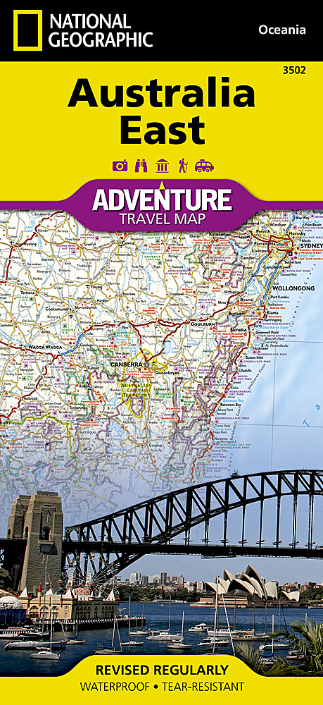
Wegenkaart van Australië Oost met vermelding van veel bezienswaardigheden, nationale parken en attrakties. Watervast en scheurvast. Juist door deze vermeldingen onderscheidt de kaart zich van andere wegenkaarten. National Geographic's Australia East AdventureMapis designed to meet the unique needs of adventure travelers with its durability and detailed, accurate information. The map includes the locations of thousands of cities and towns with a user-friendly index, plus a clearly marked road network complete with distances and designations for major highways, main roads, plus tracks and trails for those seeking to explore more remote regions.    The Australia East AdventureMap differs from a traditional road map because it includes hundreds of points of interest that highlight diverse and unique destinations within the country. National parks, World Heritage sites, caves, archeological sites, aboriginal settlements and protected lands are included, making it an invaluable resource to travelers hoping to experience all the history and culture Australia has to offer. Additional travel aids include the location of airports, lighthouses and ferry routes.    The front side of the Australia East map details Queensland, the Great Barrier Reef, and more. The back side of the map details the southern portion of Queensland, including Brisbane, as well as New South Wales and Victoria. An inset map of Tasmania is also included. The Australia AdventureMap is printed in the United States on a durable synthetic paper, making it waterproof, tear-resistant and tough capable of withstanding the rigors of international travel.    Key Features: Waterproof and tear-resistant Detailed topography with clearly labeled natural features Hundreds of points of interest, including the location of World Heritage sites, national parks and nature reserves, aboriginal settlements and protected lands, mines, archeological sites, wildlife parks and more Thousands of place names with a detailed index Important travel aids including airports, lighthouses, ferry routes and rail lines

€ 18,50

Afbeelding tijdelijk niet beschikbaar
Reisgids France des vins | Michelin

Reisgids France des vins | Michelin

C'est fabuleux tout ce qu'on peut faire avec une carte et un guide Michelin. Avec une carte pour tout voir et un guide pour tout savoir, tout sentir, tout goûter, c'est l'heure de prendre la route. Les Fabuleux Itinéraires vous entrainent à travers une sélection des meilleurs chemins, sites, adresses et expériences pour explorer la France. Une nouvelle collection … C'est fabuleux tout ce qu'on peut faire avec une carte et un guide Michelin. Avec une carte pour tout voir et un guide pour tout savoir, tout sentir, tout goûter, c'est l'heure de prendre la route. Les Fabuleux Itinéraires vous entrainent à travers une sélection des meilleurs chemins, sites, adresses et expériences pour explorer la France. Une nouvelle collection composée dans un même étui : d'une carte détachable habillée d'illustrations qui invite au voyage et dessine 15 itinéraires thématiques à travers la France et d'un guide de 128 pages, enrichi de gravures anciennes et d'illustrations originales, décrivant ces itinéraires étape par étape, à chaque moment de la journée, du petit déjeuner au dîner dans cette carte et ce guide, retrouvez plus de 500 adresses : des restaurants gourmands pour tous les repas, des hébergements de charme pour passer la nuit, des magasins de bouche et des boutiques sélectionnées avec soin pour les emplettes. Pour les plus audacieux ou ceux qui souhaiteraient aller plus loin, découvrez des sites et des adresses alternatives dans les marges. Les Fabuleux Itinéraires autour de la France des vins, signés Laure Gasparotto, illustrés par Michel Tolmer De vallons en flacons, le patrimoine viticole de la France est indissociable de sa géographie : les hommes façonnent le vin que le territoire fait jaillir des vignes. Rencontres avec les vignerons, visites de caves, balade dans les vignes... Partez avec nous sur les plus belles routes des vins !

€ 18,95

Afbeelding tijdelijk niet beschikbaar
The Secret Garden

The Secret Garden

Welcome! In the heart of nature, at the top of one of the hills in southern Burgundy, surrounded by forests, hills and fields, about 45 minutes from the A6 (Autoroute du Soleil) at Chalon-Sur-Saône, you will find your pitch. Your space is open year-round and is ideal in all seasons! Located in the orchard of a former vineyard (8000 m²) with a manor house, outbuildings, a garden and a park you will find 4 parking spaces separated from each other by fruit trees. Each space offers plenty of room. The entire property is surrounded by a wall. Motorcyclists and families with children are also welcome here! Each spot offers plenty of its own space. We are truly sorry but we have had very bad experiences. Unfortunately, we can no longer accept guests with dogs. Various benches, picnic tables and other resting places, especially in the park, invite you to wander. In autumn these spaces are wonderful for observing the new colors of nature. Enjoy the beautiful view and meet our many free-roaming animals. Whether domestic animals such as dogs, cats, chickens, peacocks and a donkey, or small wild animals like birds or our only neighbors, Charolais cattle, you will examine each with curiosity. With us, you can expect plenty of nature, peace and relaxation as well as direct contact with the country and its inhabitants. Electrical connections are available for motorhomes. Drinking water supply is also guaranteed. In the area of an adjoining building, there are toilets, a shower, a lounge and emergency accommodation in case of very bad weather. A waste water discharge point is located about 10 minutes away and is easily accessible. It is possible to rent a room in the main building. Upon request, we will be happy to provide you with breakfast, lunch, dinner, coffee and cakes or packed lunches. There are many hiking trails, cycle paths, markets and festivals in this region whether in summer, autumn or winter! Activities such as swimming, fishing, kayaking, boat trips, covered wagon rides, go-kart racing, etc. are also possible. Nearby you will find amusement parks, a zoo, a thermal bath, castles, archaeological excavation sites (e.g. Bibracte), pilgrimage sites (Paray-Le-Monial, Cluny), a Buddhist temple, museums, cultural institutions, restaurants, shops... Excursions to Lyon (approx. 1h30), Château de Guédelon (approx. 2h30), Lake Geneva (approx. 2h30), Vézelay (approx. 2h) or the Burgundy vineyards (approx. 1 hour) are also possible. Even Paris is accessible in 4 hours. Upon request, we will be happy to provide you with a personal guide for some of the sites. Please do not smoke in the buildings, do not organize excessive parties and treat our animals, us, our property, nature and the surroundings kindly. Respect your fellow campers, especially during rest periods! Whether you want to spend all your vacation with us or are just passing through, we hope to see you again soon!

€ 15,00

Afbeelding tijdelijk niet beschikbaar
Tourist map of the Ngorongoro conservation area Tanzania | Veronica Ro

Tourist map of the Ngorongoro conservation area Tanzania | Veronica Ro

Zeer bijzondere landkaart van Ngorongoro conservation area in Tanzania. Uitermate handig zijn de GPS coördinaten van de meest belangrijke punten als campings of uitzichtspunten. De kaart is gebaseerd op een luchtfoto, waarbij alle details zijn ingetekend. The cartographic design displays the information of the Tourist Map of the Ngorongoro Conservation Area with strong accents and is based on satellite photography. The main map and the enlarged maps show grids of parallels and meridians with degree data and a choice of 180 GPS coordinates. The legend indicates boundaries, tarred and gravel main routes, secondary routs that require 4x4, walking trails including distance and time, day and long walking trails, walking trail camp sites, bomas, villages and protected areas. Also indicated are gas stations, public, NCA and special camp sites, lodges, rangers posts, airstrips, look-out points, places of interest, picnic sites and toilets, distance legs and aggregated distances. There is information on park regulation of the Ngorongoro Conservation Area, fingertip facts on locality, size, history, climate, and geological history. Along with the map comes a decent photographic checklist of 280 birds, 40 plants and 75 animals of the region, many of them featuring the Swahili names.   Index of maps and insets:   Ngorongoro Conservation Area 1:390.000 Ngorongoro Crater 1:50.000 Lake Ndutu 1:50.000 Empakaai Crater 1:100.000  Olmoti Crater 1: 125.000 Olduvai Gorge 1:200.000 Reference Map Simplified overview map of Tanzania Migratory Routes in the Serengeti Ecosystem

€ 17,50

Afbeelding tijdelijk niet beschikbaar
Wegenkaart - landkaart Bangladesh & India oost | ITMB

Wegenkaart - landkaart Bangladesh & India oost | ITMB

Een degelijke kaart met aanduidingen van o.a. nationale parken, vliegveld, benzinepomp, dirt-roads en kleine plattegrond van hoofdstad. Als overzichtskaart goed te gebruiken. I like Bangladesh. Sure, the government is too corrupt and the country gets schmucked every time there's a hurricane, but the people are friendly and hard-working and gradually improving their country. As a travel destination, Bangladesh has to be considered as part of a trip to India for most people, so in addition to updating and modernizing our artwork, we have added a map of the easternmost portion of India, showing access routes and sites of interest in both countries. One of the great treats of Bangladesh is to take a ferry from Dhaka to Khulna, a two-day trip. The map also includes an inset of Dhaka, the capital, although we had to show only a few of the thousands of mosques in the city.    Legend Includes: Roads by classification, Airports, Ferrie routes, Bus stations, Car parks, State boudaries, border crossings, Camping areas, Hotels, Hospitals, Post offices, Shopping centers, Police Stations, Libraries, Embasssies, Banks, Stadiums, Museums, Tourist information centers, Points of interest, Temples, Monuments and historical sites, Churches, Mosques, Buddhist temples, Hindu temples, Jain Temples, Palaces, Notable buildings, Cinemas and theatres, Waterfalls, Lighthouses, Forts, Wildlife reserves, Bird sanctuaries, Natural reserves, Tea plantings, Mountain peaks and elevations, Caves, Hot springs, Gardens, Golf courses, Rafting, World heritage sites, Viewpoints, Beaches, Universities, and much more.

€ 14,95